Geophysics in Auckland offers a non-intrusive window into the subsurface, transforming how we manage risk and plan infrastructure in one of New Zealand's most dynamic urban centres. This category encompasses a suite of advanced techniques designed to map geological layers, locate utilities, and characterise ground conditions without breaking ground. From volcanic basalt flows to reclaimed waterfronts, Auckland's complex terrain demands precision. Integrating methods like GPR survey for high-resolution near-surface imaging or deep electrical resistivity testing for groundwater and contaminant mapping is now standard practice for de-risking projects.
Auckland's unique geological setting directly shapes the geophysical approach. The region is built on the Auckland Volcanic Field, comprising over 50 discrete eruption centres, interbedded with Waitemata Group sedimentary rocks and expansive alluvial deposits. This creates a challenging mosaic of stiff basalt, weak sandstone, and soft, compressible clays. Such variability demands a multi-method strategy. For seismic site classification, MASW and Vs30 profiling is essential to quantify ground stiffness, while HVSR microtremor surveys efficiently map resonant frequencies across large areas, highlighting zones prone to seismic amplification.
Regulatory compliance in New Zealand, particularly under the Building Code and the Resource Management Act, increasingly relies on geophysical data. NZS 1170.5:2004 Structural Design Actions mandates site-specific seismic hazard assessment, where Vs30 measurements directly influence foundation design spectra. Similarly, guidelines from Auckland Council and the NZ Geotechnical Society encourage geophysical screening to delineate volcanic hazards and paleo-channels. Adhering to MBIE and Engineering New Zealand practice notes ensures that seismic refraction and reflection tomography provides defensible bedrock depth and rippability data for consenting and earthworks planning.
The scope of projects requiring geophysics in Auckland is vast. Major transport corridors like the City Rail Link rely on continuous subsurface profiling to navigate mixed-face conditions. Land development on the city's fringes uses resistivity and MASW to certify ground stability for residential foundations and stormwater soakage. Coastal engineering and marina upgrades depend on sub-bottom profiling to assess sediment thickness, while utility detection with GPR prevents costly strikes during streetscape upgrades. Even heritage and archaeological assessments utilise high-frequency radar to locate buried structures with minimal disturbance.
The primary methods include Ground Penetrating Radar (GPR) for shallow utility and void detection, Multi-channel Analysis of Surface Waves (MASW) for seismic site classification, Electrical Resistivity Tomography (ERT) for groundwater and lithology mapping, and seismic refraction or reflection for bedrock profiling. HVSR passive microtremor surveys are also common for rapid resonance mapping across large sites.
Auckland's volcanic field creates highly heterogeneous subsurface conditions with abrupt transitions between basalt lava, scoria, and soft sediments. Surveys must be designed to penetrate resistive volcanic rock while resolving soft alluvial layers. This often requires combining high-energy seismic sources for refraction with electrical methods sensitive to moisture and clay content to distinguish flow boundaries from weathered horizons.
NZS 1170.5:2004 is the key standard governing seismic hazard assessment, where shear wave velocity (Vs30) from geophysical surveys determines site subsoil class. Engineering New Zealand and MBIE guidelines also reference geophysical data for foundation design and geohazard identification. Auckland Council may request such data for consenting in areas with complex volcanic or alluvial geology.
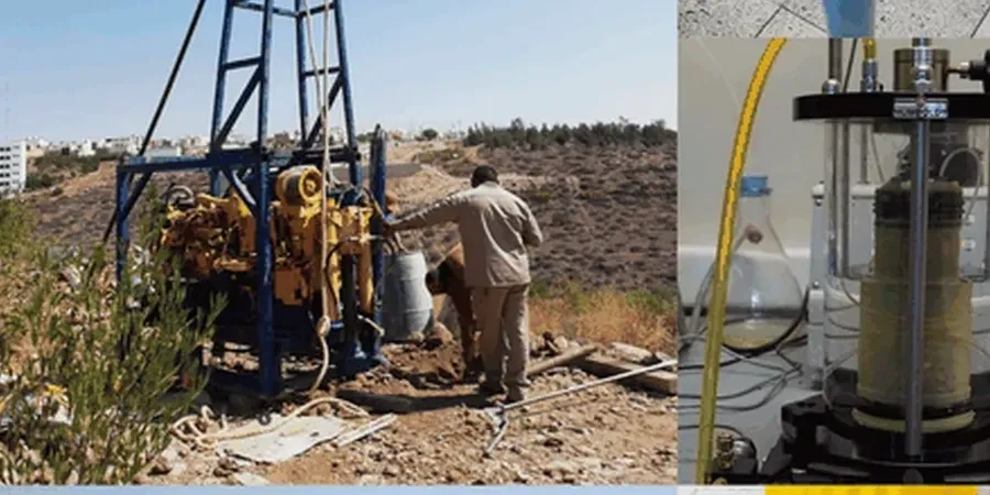
While geophysics provides continuous subsurface coverage and identifies anomalies, it cannot fully replace direct investigation. Geophysical data is indirect and requires ground-truth calibration through targeted boreholes or trial pits. Best practice in Auckland involves a phased approach: geophysical screening to optimise intrusive point locations, followed by integrated interpretation to develop a reliable ground model.