Geotechnical investigation in Auckland forms the bedrock of any successful construction or civil engineering project, providing critical data about the ground beneath our feet. This category encompasses a comprehensive suite of field and laboratory testing methods designed to characterise soil, rock, and groundwater conditions, ensuring that foundations, retaining structures, and earthworks are designed safely and economically. In a city built on a dynamic and complex geological landscape, understanding what lies below the surface is not merely a regulatory requirement but a fundamental necessity to manage risk and prevent costly failures.
Auckland's unique geology presents particular challenges that demand rigorous investigation. The region is underlain by a diverse range of materials, from the soft, compressible marine clays of the Tamaki Estuary to the weathered products of the Waitemata Group sandstones and siltstones, and the highly variable volcanic soils derived from the Auckland Volcanic Field. Each material behaves differently under load, and their distribution can change dramatically over short distances. A well-planned investigation, often commencing with an exploratory test pit for shallow assessments, helps map this variability and identify potential hazards such as liquefiable soils, expansive clays, or zones of weak rock.
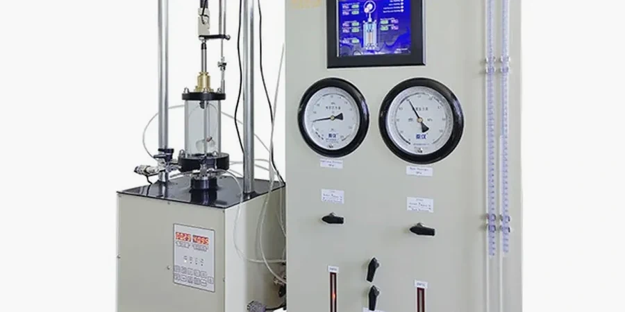
All geotechnical investigations in New Zealand must comply with the standards set out in the Building Act 2004 and the New Zealand Building Code, specifically Clause B1 – Structure. The accepted verification method for this clause is NZS 4404:2010 (Land Development and Subdivision Infrastructure), which points to NZGS guidelines and international standards like AS 1726 for site investigations. These documents dictate the appropriate density, depth, and type of testing required, depending on the project's complexity and the ground conditions. For deeper strata and to obtain engineering parameters like strength and density, the Standard Penetration Test (SPT) is a globally recognised in-situ test routinely employed across Auckland to satisfy these regulatory requirements.
The scope of projects requiring investigation in Auckland is vast. High-density residential developments on the city fringe, commercial towers in the CBD, and critical infrastructure like the City Rail Link all depend on thorough subsurface data. Even smaller-scale projects, such as a new retaining wall on a sloped section in Titirangi or a residential extension on the North Shore's clays, trigger the need for investigation to satisfy building consent authorities. The investigation process is scalable, from hand-dug pits and Scala penetrometer tests for light timber-framed structures to deep boreholes with SPTs and laboratory testing for multi-storey buildings, ensuring a fit-for-purpose approach.
A geotechnical investigation aims to understand the physical properties of soil and rock at a site to inform safe and economical design of foundations and earthworks. It identifies subsurface conditions, assesses potential hazards like instability or liquefaction, and provides the engineering parameters required for structural design, ensuring compliance with the New Zealand Building Code.
An investigation is generally required as part of any building consent application involving foundations, retaining walls over 1.5 metres, or significant earthworks. The necessity is driven by the Building Code Clause B1, and Auckland Council will request a site-specific report to verify compliance, particularly on sites with known geotechnical constraints or where the proposed work exceeds simple residential thresholds.
The process typically begins with a desktop study of geological maps and aerial photos, followed by a site walkover. The principal field stage involves intrusive works like machine-dug pits or boreholes with SPT testing to collect samples and measure ground strength. This is concluded with laboratory testing and a detailed interpretive report containing design recommendations.
In Auckland, investigations commonly identify risks such as soft, compressible marine clays prone to settlement, volcanic soils with variable strength, weathered rock with potential for slope instability, and high groundwater tables. Critically, the investigation assesses liquefaction potential in sandy soils, a significant consideration in many parts of the region under seismic loading.